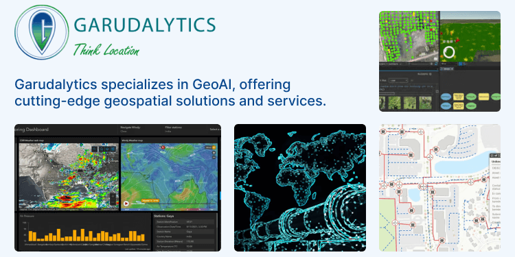
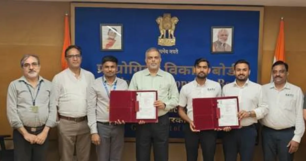
Garudalytics, an emerging startup based in Hyderabad, is revolutionizing the field of geospatial intelligence with its innovative application of GeoAI technologies.
Founded by Dr. V S S Kiran, Garudalytics has quickly established itself as a leader in the industry, successfully completing over 40 projects within two years and serving a diverse range of clients, including government agencies, defense sectors, real estate companies, and corporate organizations.
In today’s data-driven world, accurately analyzing and applying geospatial information is crucial across various industries, including agriculture, urban development, utilities, natural resource management, and emergency response.
This involves managing vast amounts of data and transforming it into actionable insights.
Garudalytics tackles these challenges with cutting-edge GeoAI solutions, integrating AI, IoT, and blockchain technologies.
Their flagship product, Garudalytics Smart Mapping (GSM), offers a comprehensive suite of tools, including Spatial, 3D, Network Analysis, Raster Analysis, Query Analysis, Attribute Analysis, and Dashboard Analysis, making geospatial data more accessible and actionable.
Agricultural Innovation
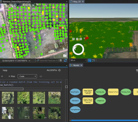
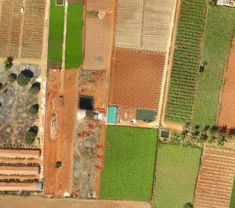
Garudalytics boasts extensive expertise in the agricultural sector, providing innovative, cost-effective solutions through Software as a Service (SaaS) and Platform as a Service (PaaS) models.
By leveraging GIS applications, new sensors, and technologies like IoT and AI, they address agriculture-related problems and enhance productivity.
Garudalytics focuses on applications such as crop inventory, crop health, crop yield, nutrient and water stress, land use/land cover, agro-meteorological data, and pest infestation.
Their GIS applications aim to accelerate sustainable and smart agriculture, thereby increasing overall agricultural productivity.
Urban Planning and Development
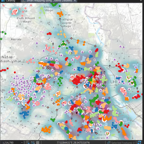
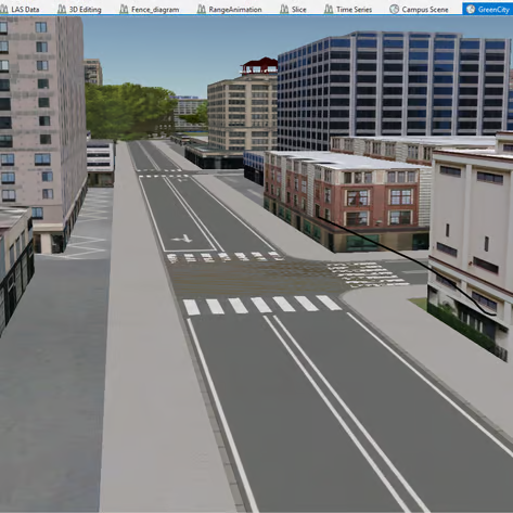
Urban communities are expanding, and spatial intelligence is critical for urban planning, city infrastructure development, and site suitability analysis.
Garudalytics employs multi-source distant detection methods to ensure high-quality data across large zones.
Their comprehensive urban planning services include smart city planning, 3D city modeling, property and corridor mapping, smart mobility solutions, land use/land cover planning, cadastral level planning, transportation planning, and urban environmental planning.
These services facilitate effective data collection, forecasting, resource allocation, financial modeling, and social research, supporting the development of smarter, more sustainable cities.
Enhancing Utilities
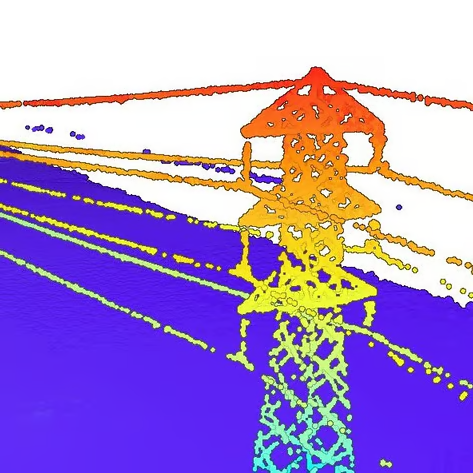
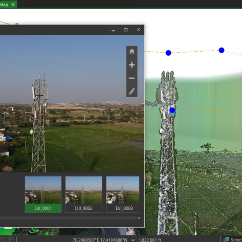
Garudalytics has extensive exposure to the utilities sector, assisting electricity, telecommunications, and gas utilities with data and planning services.
Their spatial intelligence solutions improve operations, efficiency, reliability, and customer satisfaction.
For electric utilities, Garudalytics offers services such as electric distribution data management, outage damage assessment, and utility mapping and network management.
They integrate data from LiDAR, UAV, GPR, field pictures, and drawings to provide precise 3D utility network information.
For gas utilities, they offer services including gas and pipeline data management, tracking and traceability, and network analysis.
Their bespoke pipeline planning techniques and 3D models of structures and pipes enable efficient utility management.
Natural Resource Management
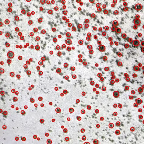
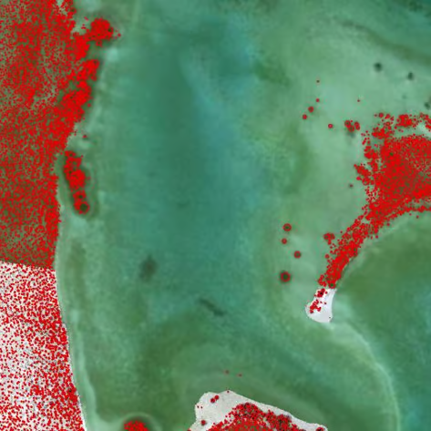
Garudalytics employs spatial analysis and innovative mapping techniques to reveal new patterns and trends, improving the management of natural resources.
They use AI, data engineering, and spatial intelligence to increase productivity, optimize workflows, and reduce risk.
Their services cover applications in mining, forestry, water management, smart energy, and agriculture.
By providing detailed and accurate data, Garudalytics helps stakeholders make informed decisions that balance economic development with environmental conservation.
Emergency Management
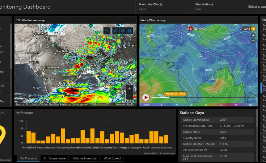
Emergency management is another critical area where Garudalytics makes a significant impact.
Their one-step emergency management app delivers safer and more resilient communities by using innovative methodologies to understand complex vulnerabilities, threats, and hazards.
The startup’s specialized team undertakes risk assessments, mitigation initiatives, and adaptation strategies.
Utilizing location intelligence, Garudalytics provides up-to-the-second information for rapid damage assessments, facilitating effective responses to emergencies such as environmental modeling, floods, transportation disruptions, earthquakes, utilities failures, and epidemiological threats.
Comprehensive Services and Future Vision
Garudalytics offers a comprehensive range of services, including application development, cloud services, and consultancy.
Their expertise and innovative solutions are driven by a team with over 150 years of collective experience in Geographic Information Systems (GIS).
This depth of knowledge allows them to tackle complex spatial problems and deliver customer-centric solutions that meet the unique needs of each sector.
Conclusion
As industries increasingly rely on geospatial intelligence for decision-making and strategic planning, the role of innovators like Garudalytics becomes ever more crucial.
Their ability to transform location data into actionable insights is paving the way for smarter, more efficient, and sustainable solutions across multiple sectors.
With their diverse range of services and a visionary approach to geospatial intelligence, Garudalytics is well-positioned to shape the future of this dynamic field.


