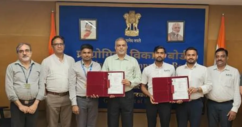
Pixxel, a leading space data company and spacecraft manufacturer, has partnered with Geoimage to deliver high-resolution hyperspectral imaging solutions across Australia.
This collaboration comes ahead of the imminent launch of six commercial hyperspectral satellites set for January 2025, promising to transform the way we analyze our planet.
The partnership enables Geoimage to leverage Pixxel’s advanced imaging capabilities, which include the ability to capture data across up to 250 spectral bands.
This technology empowers industries to gain deeper insights through spectral analysis, enhancing our understanding of environmental changes and resource management.
Mark Covington, General Manager of Geoimage, emphasized the significance of this collaboration, stating, “The realm of hyperspectral has long been difficult territory with a scarcity of satellite sensors and scarcity of skills to apply hyperspectral data to real-world challenges. Pixxel will surely break new ground in this area, and we are truly excited to be partnering with Pixxel in this area of Earth.” Pixxel will surely break new ground in this area, and we are truly excited to be partnering our spectral analysis expertise with Pixxel’s data to take Earth observation to the next level.”
The applications of this partnership are vast and innovative. Key areas of focus include:
- Critical Mineral Exploration: By mapping alteration minerals, this partnership aims to provide valuable insights for mining exploration, essential for Australia’s resource sector.
- Vegetation Health and Classification: Enhanced imaging will allow for effective differentiation between weeds and native plants, aiding in better land management practices.
- Land Use Identification: The technology will assist in assessing materials and uses in urban planning, leading to more efficient resource management strategies.
Aakash Parekh, Chief Commercial Officer at Pixxel, shared his enthusiasm for the collaboration, stating, “Partnering with Geoimage as we prepare to launch our upcoming hyperspectral satellite constellation is a significant milestone for both companies. This collaboration opens up new opportunities in Earth observation, especially for mining and vegetation applications for Australian enterprises. This synergy is not just about data access; it’s about creating a smarter future for our planet with actionable insights.”
Pixxel is already ahead in the space race, with three hyperspectral satellites currently operational and plans for an aggressive expansion, including the launch of six new satellites in 2025 and an additional 18 by 2026-27.
This ambitious strategy aims to establish a comprehensive health monitor for the planet, enabling stakeholders across various industries to make informed decisions based on precise, real-time data.


